The steps to create markers are different depending on the device you are working with.
In case you are using a tablet or mobile phone the process is as follows:
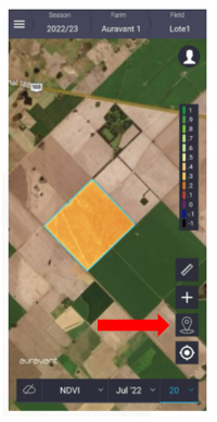
1- 1- To view the created markers, click on the markers button on the right side of the screen.
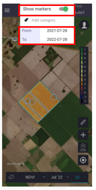
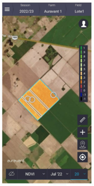
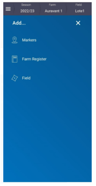
2- If you want to create a new one, you must click on the button (+), select markers and indicate where it should be located.
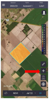
If you are in the field you can use the coordinate of your current location.
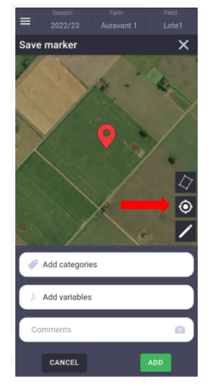
Otherwise, it is possible to go to the field manually by clicking on the square on the sight.
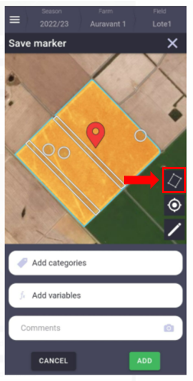
In this way, we can add to the points/polygons that we create a label or category that will allow us to identify them, variables with their respective units and add a photo or comment.
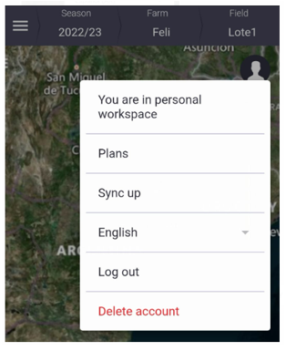
3. It is important to know that if the markers were generated offline all data will be stored in the phone until we synchronized it with the platform (once you have an internet connection or wifi). This is how we can see them in the web version and in the reports.
IMPORTANT NOTE: To make sure everything is synchronized click on the “Sync” button in the user menu.
“
